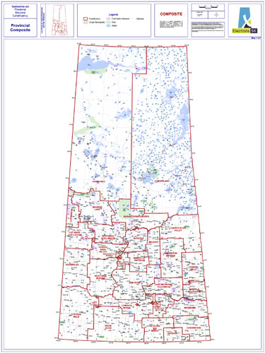
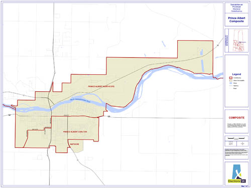
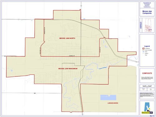
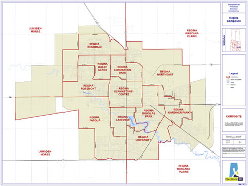
View
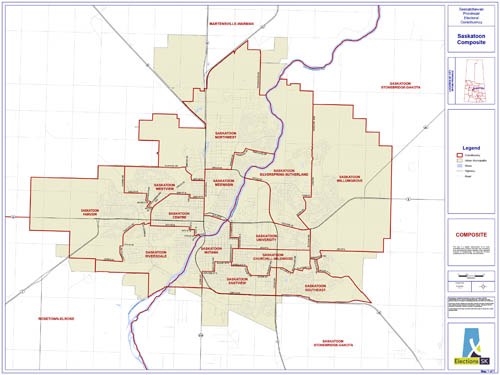
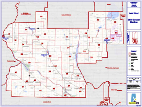
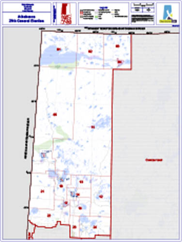
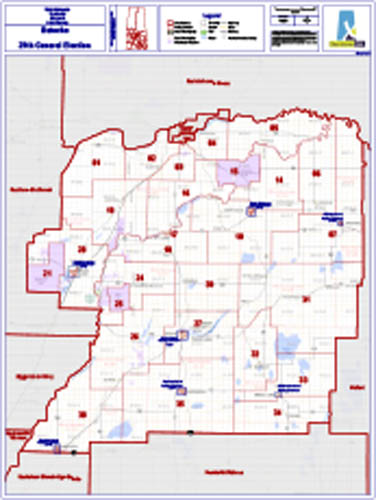
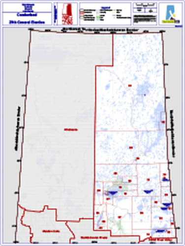
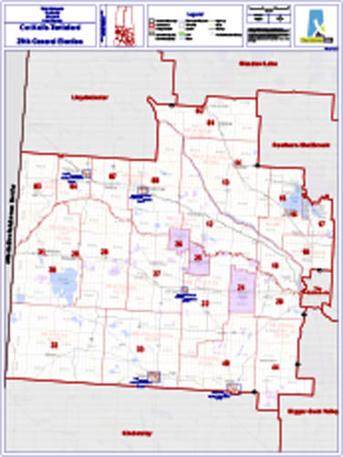
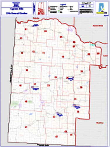
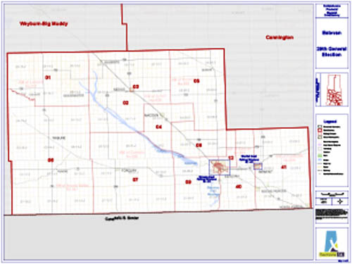
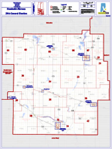
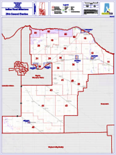
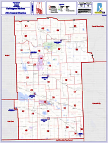
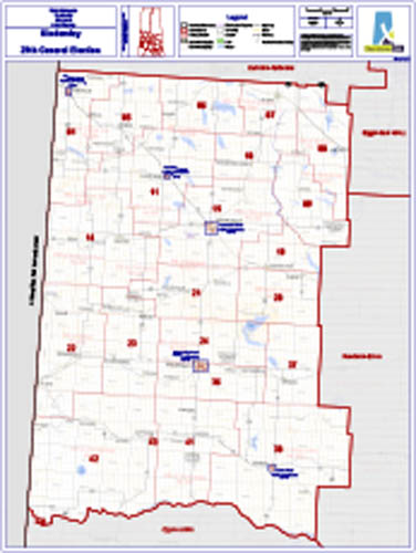
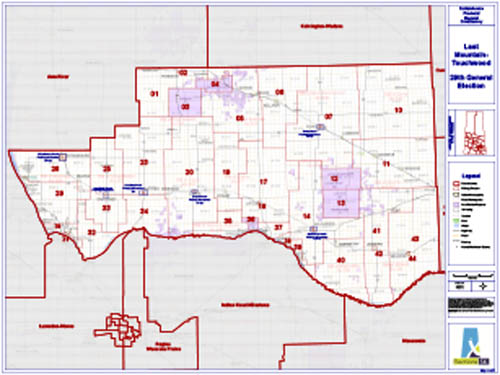
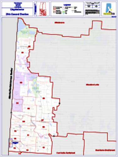
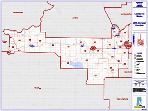
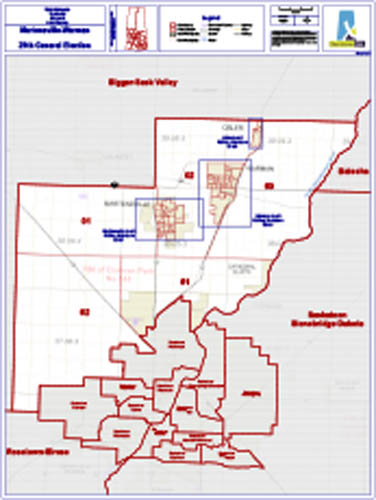
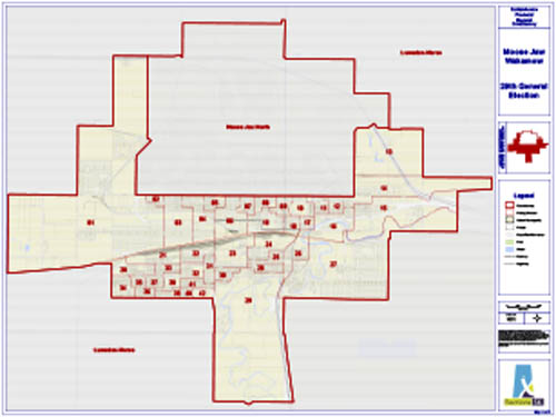
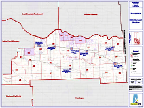
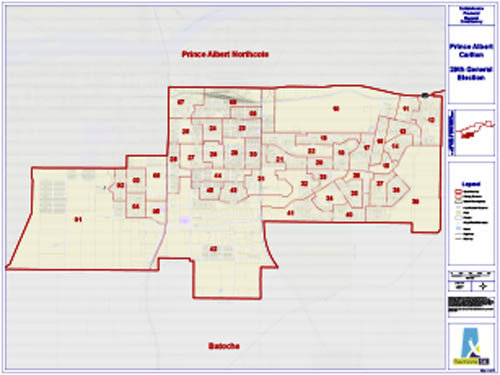
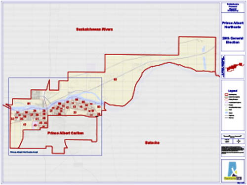
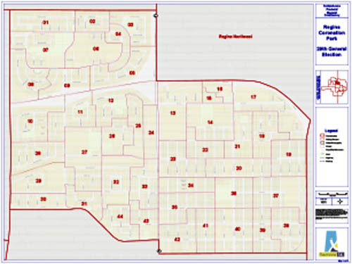
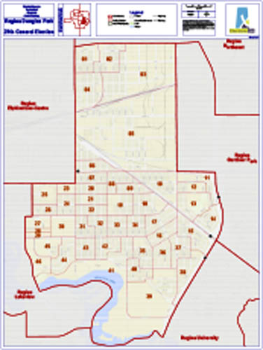
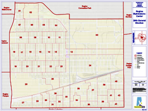
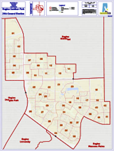
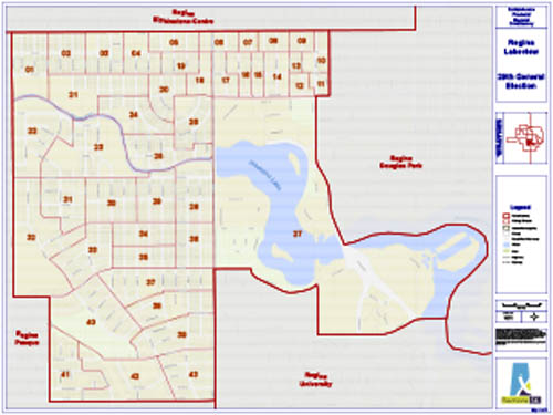
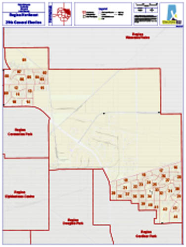
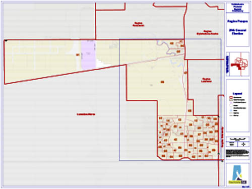
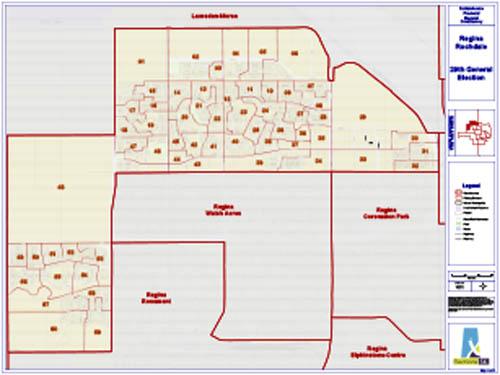
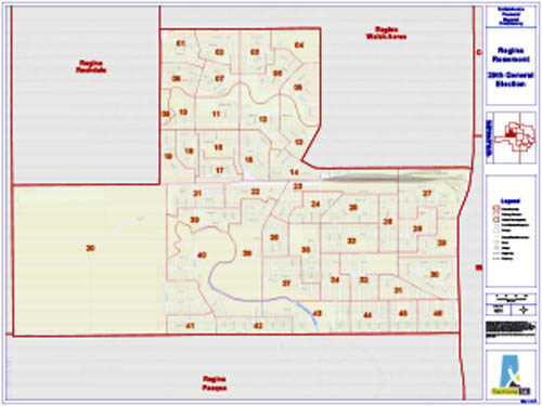
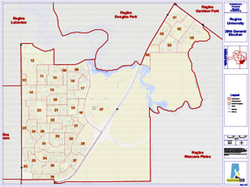
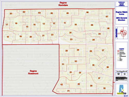
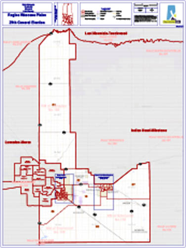
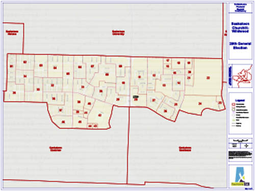
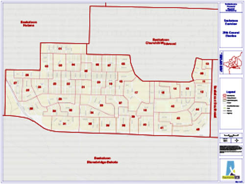
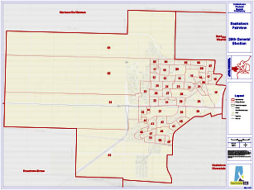
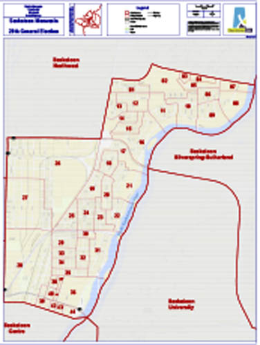
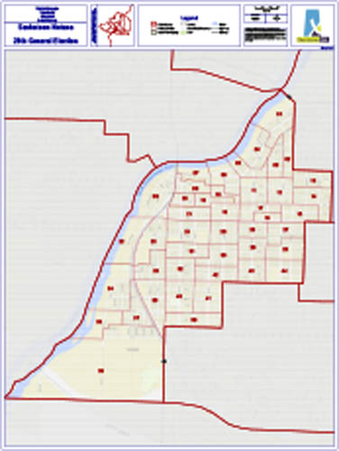
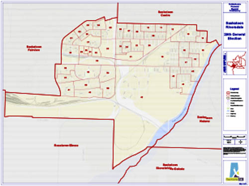
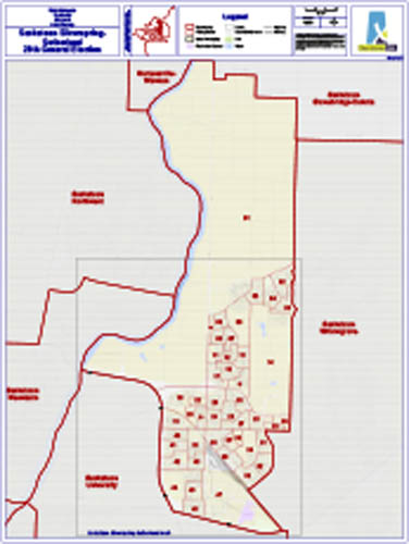
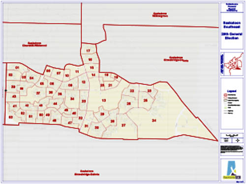
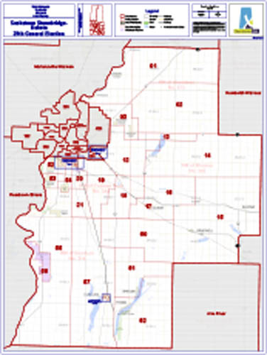
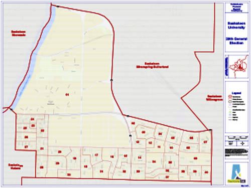
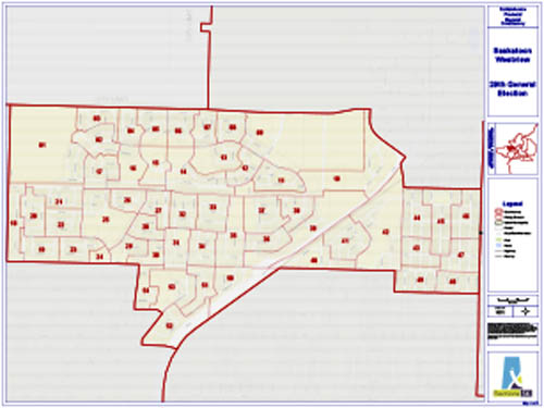
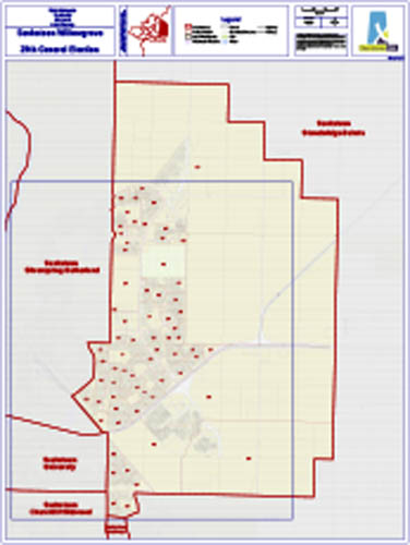
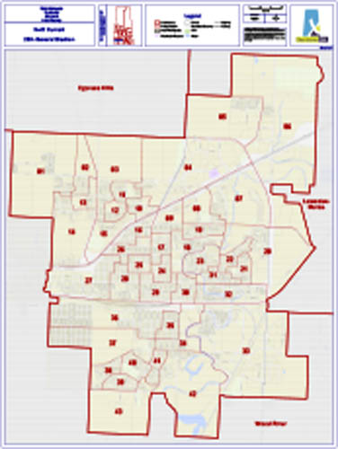
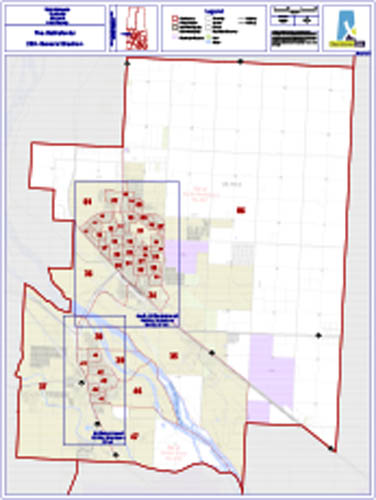
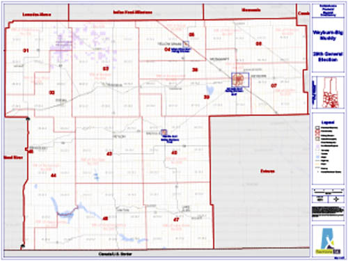
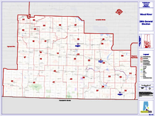
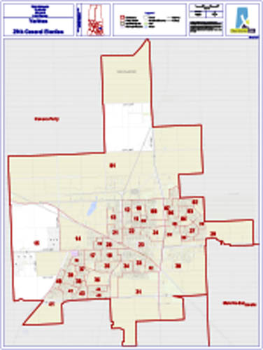
View and download individual PDFs files below. Maps include: the provincial map, 4 city composite maps, and 96 files of individual constituency maps with inset versions where available.
Download
Link to the Downloads section below to download:
- All maps as PDFs in single ZIP file
- Constituency shape files
- Polling division shape files
- Poll keys
Constituency Maps

Download all constituency maps as ZIP (481MB)
This ZIP file contains PDFs of the provincial map, 4 city composite maps, and 96 files of individual constituency maps with inset versions where available. Note the large size of the download.
Download constituency shape files as ZIP (2MB)
This ZIP file contains files intended for use with GIS software.
Download polling division shape files as ZIP (6MB)
This ZIP file contains files intended for use with GIS software.
Download 62 poll key PDF files as ZIP (7MB)
This ZIP file contains a PDF file for each constituency in addition to an Urban Street index file.
Archived Maps
View maps from the 2016 General Election and recent by-elections.